 |
| The Columbia River at Hood River Oregon. |
|
The Columbia Gorge, between Oregon and Washington, may not look it, but it was once the site of a very well used trail. During the westward migration of the United States, both the River Bank and the River were used as the last leg of the 2,000 mile journey.
both the river and the bank were treacherous. The river had many rapids that upset rafts made from settlers' wagons. more than one family disappeared during this part of the journey. The water route provided a much quicker journey, providing everything went well, but they often didn't. Those who chose the land route, faced the toughest part of the journey. They were already tired from nearly six months of travel and their stock was in no better condition.
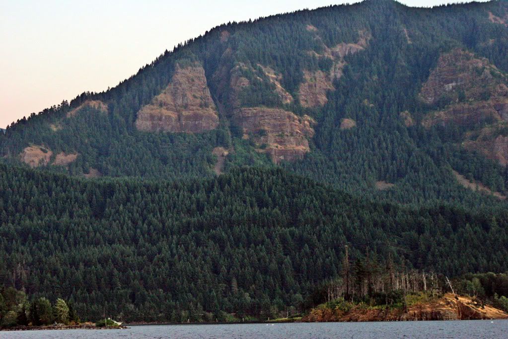 |
| Sheer rock walls in the Gorge |
As you can see from the terrain, it was tough going. Of course, the water level was lower than you see in this picture, but that made it rough going on the huge boulders that lined the river. Wheels were made of wood with an iron rim, they were not meant to be used in country filled with huge boulders.
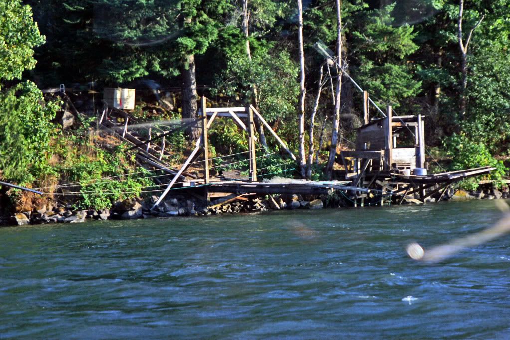 |
| Native American Fishing along the River |
Several bands of Indians lived in the area. many tribes found it useful to live near the abundant salmon and other foods found along the river. Accounts from the journals of my family indicate that Indians were very helpful in getting settlers downstream to the regions of the Willamette Valley. As a matter of recorded fact, since the first encounter, the Powell family had good relations with the Indians. Many traveled with the wagons across the plains, helping when necessary.
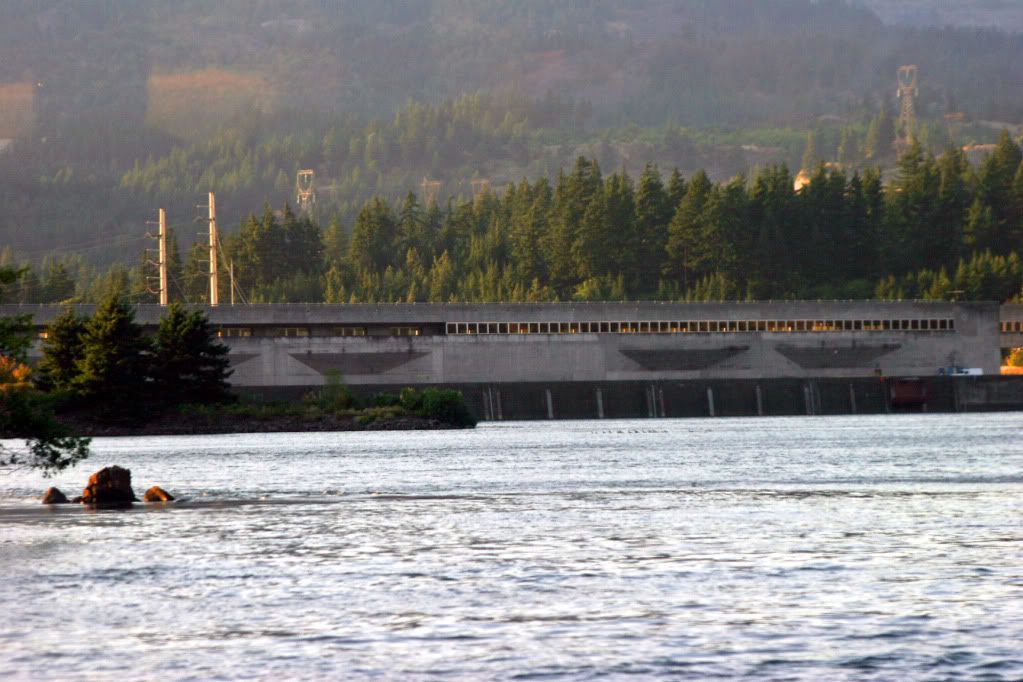 |
| East side of Bonneville Dam |
Settlers who chose to travel by river, entered at
The Dalles, floating on west to Portland. Two dams now stand in the way of a simple migration,
Bonneville and
The Dalles Dam. Each create a pool extending the foot of the next upstream dam, which would have made 1851 travel a lot easier than it was back then.
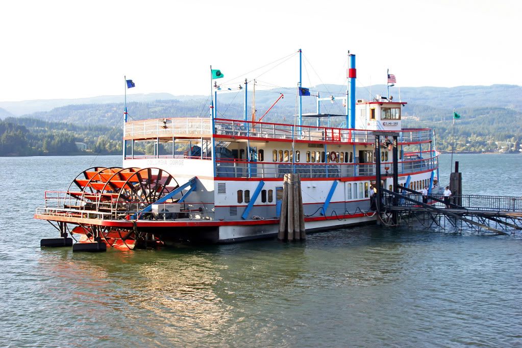 |
| "Columbia Gorge" Sternwheeler: a modern day alternative to a wagon with logs chained to the sides to form a raft. |
Everything changes, and shortly after the mass migration to the West, this type of vessel replaced wooden canoes and other floating craft when someone needed to get from one place to another. The sternwheeler and also sidewheelers, both known as
paddlewheelers plied the Columbia, the Willamette and the Snake Rivers for a time before giving way to railroads as more reliable and faster transportation.
The Columbia River Scenic Highway replaced some of the water transportation until the lock system was installed to raise and lower barges filled with commodities heading for the
Port of Portland
This highway snaked around the hills and is still in use though Interstate I-84 is the preferred by motorists in a hurry. The crown jewel of this old highway is found at Vista Point. From here the traveler can see in both directions for many miles.
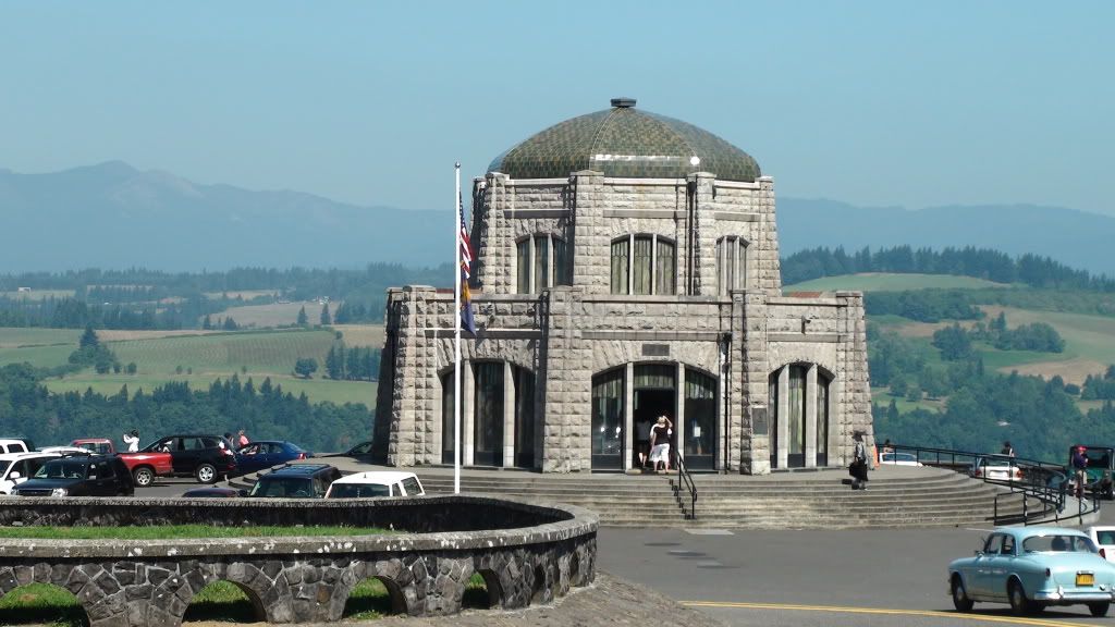 |
| Vista House |
Vista House is a restful place to stop--though parking may be a problem. This stop and Multnomah Falls, just a few miles down the road to the east are the two most popular stops along this highway. Along the route, there are a number of spectacular waterfalls, many with in sight of the highway.
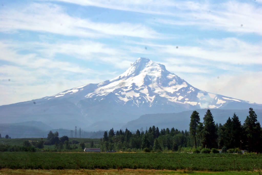 |
| Mt. Hood with forest fire at the lower right |
Mt. Hood is what forced the settlers to use the river route to the Willamette Valley. Later, a toll road, the Barlow Road, was built over the south flank of the mountain, but that road was almost as treacherous as the river.


No comments:
Post a Comment